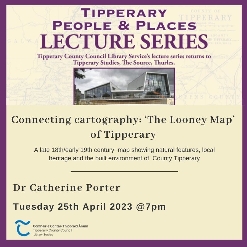
April lecture: The Looney Map of Tipperary
We’re delighted to be hosting an extra lecture on the 25th April at 7pm in the Source Library, Thurles
Dr Catherine Porter, Head of Geography, @UL_Research will discuss the Looney Map https://digitallibrary.ul.ie/timothy-looney-papers
In 2013, the family of Timothy Looney, County Tipperary, donated his lifetime collection of archival material to the University of Limerick (UL). Now expertly catalogued and extant in Special Collections and Archives, Glucksman Library, The Timothy Looney Papers are rich with manuscript and printed material including photographs, books, documents and cartography detailing the histories of the Counties Tipperary and Cork.
Amongst the Papers is one large and intriguing linen-backed map. Drawn ‘By a Scale of two Inches in one Irish Mile’, the delicately coloured cartography depicts the Tipperary landscape at the end of the eighteenth and beginning of the nineteenth centuries. Natural features such as rivers, loughs, bogs and mountains are marked alongside the built environment and local heritage including buildings, roads and laneways. Whilst the provenance of the ‘Looney Map’ is unknown, a team at the University of Limerick has recently developed an interactive online resource to facilitate further exploration of the map. In this lecture, Dr Catherine Porter, Head of Geography, University of Limerick, will introduce the online resource and the on-going research into the cartography
Dr Porter is a Lecturer in Geography at the University of Limerick. Her research interests lie in new ways to approach and analyse early maps and texts, specifically the histories of mapping Ireland. Catherine is currently the Ireland project lead for the digital humanities project, ‘OS200: Digitally Re-mapping Ireland’s Ordnance Survey Heritage’, co-funded by the Irish Research Council and the Arts and Humanities Research Council.