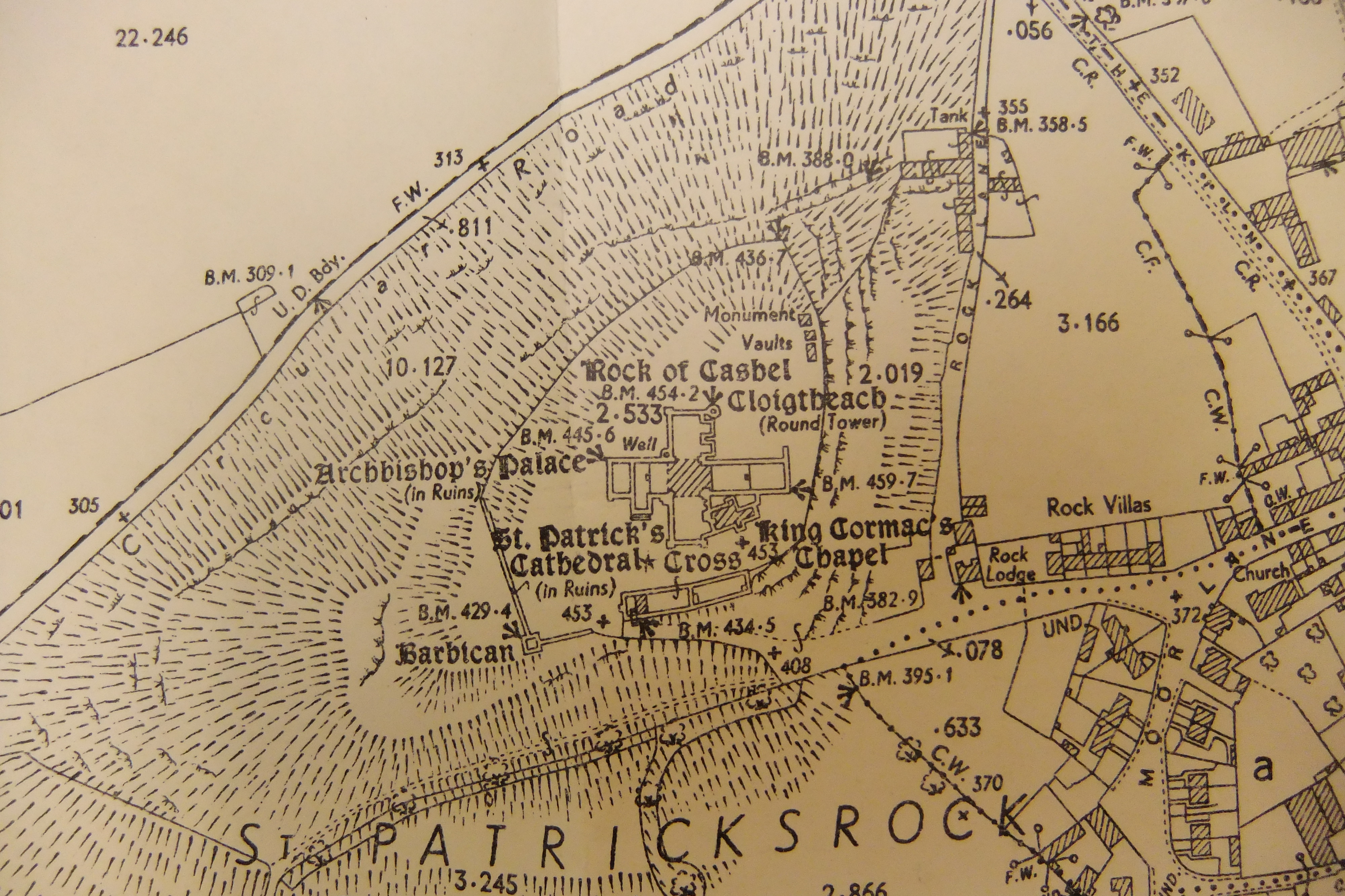
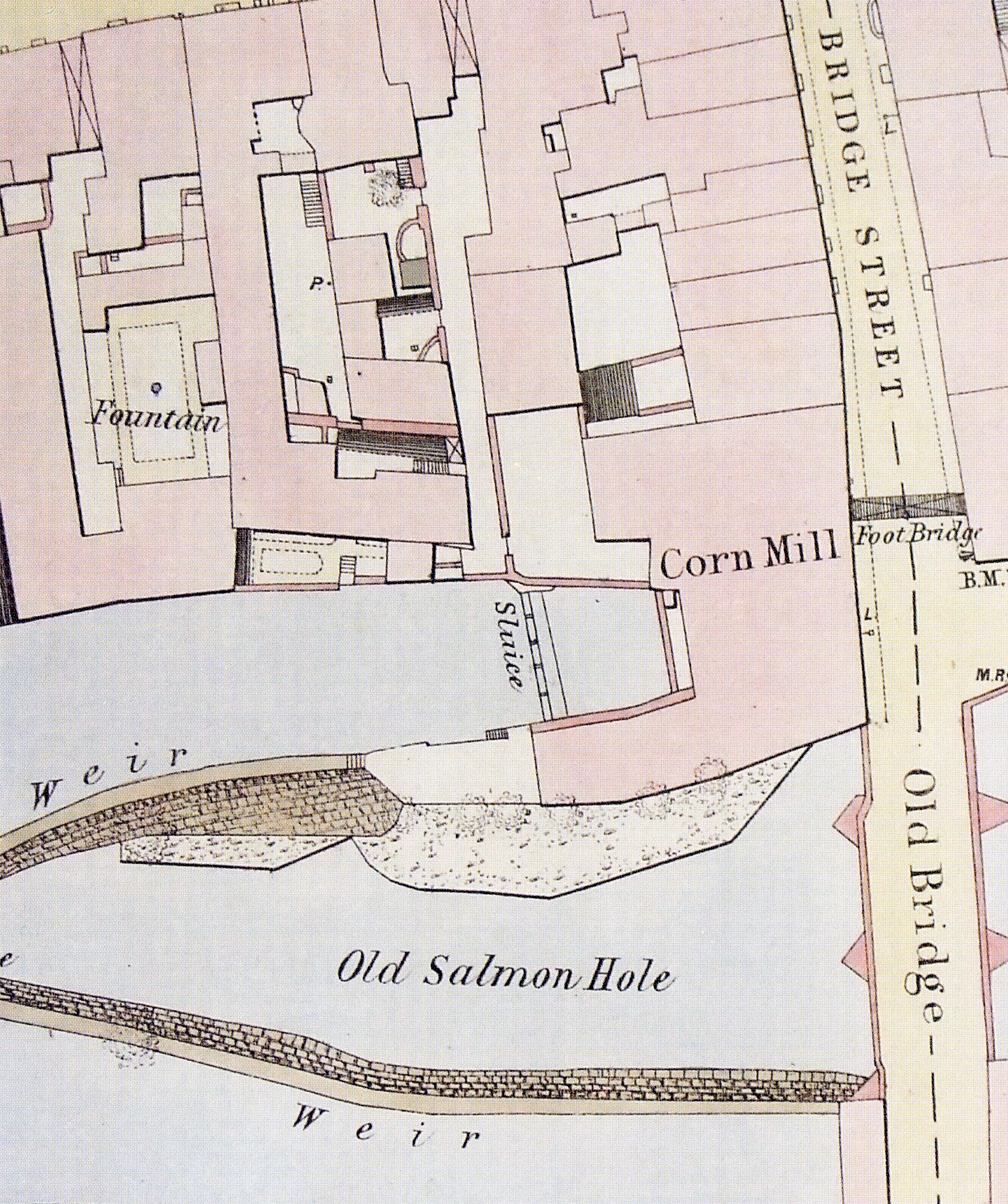
Tipperary Studies holds copies of some of Tipperary’s earliest maps, dating from the 17th Century, through to the OSI’s modern maps of the 21st Century.
Holdings include;
Down Survey Parish Maps (1650s)
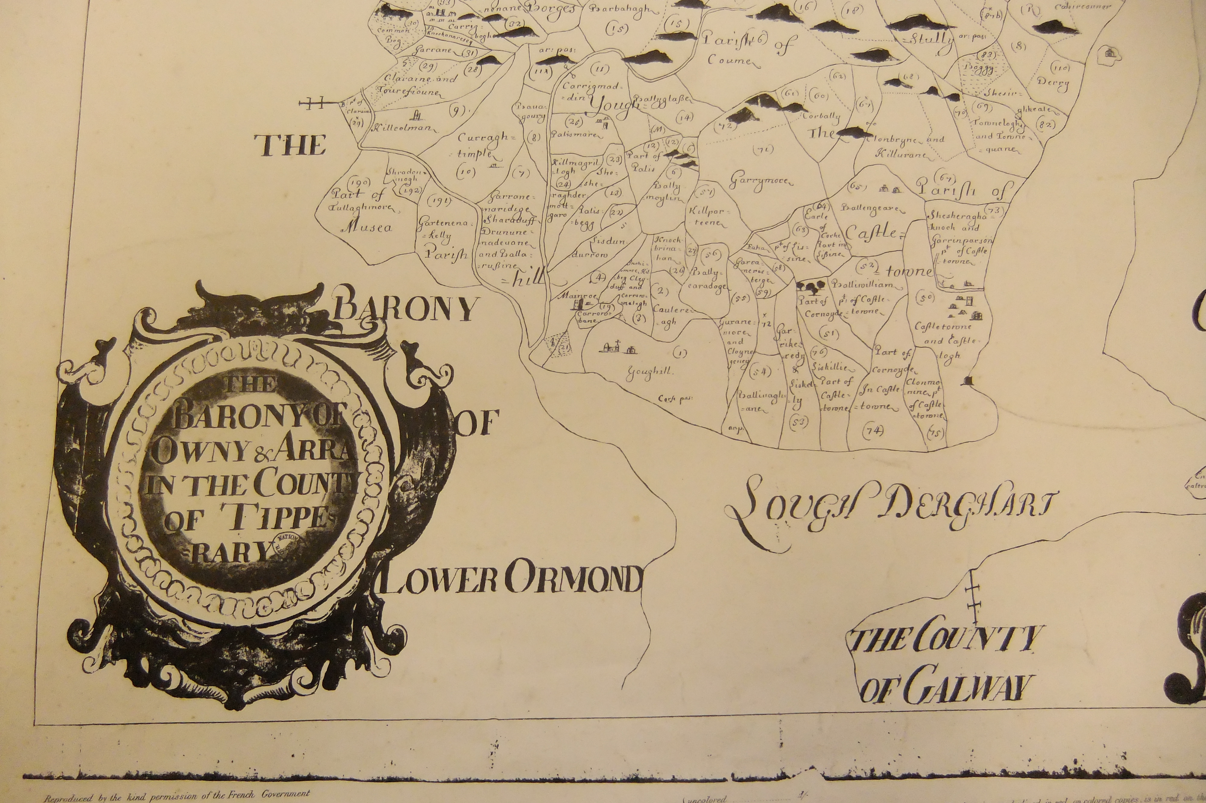
Down Survey Barony Maps (1650s)
Composite Maps of Down Survey and 1st Edition OS
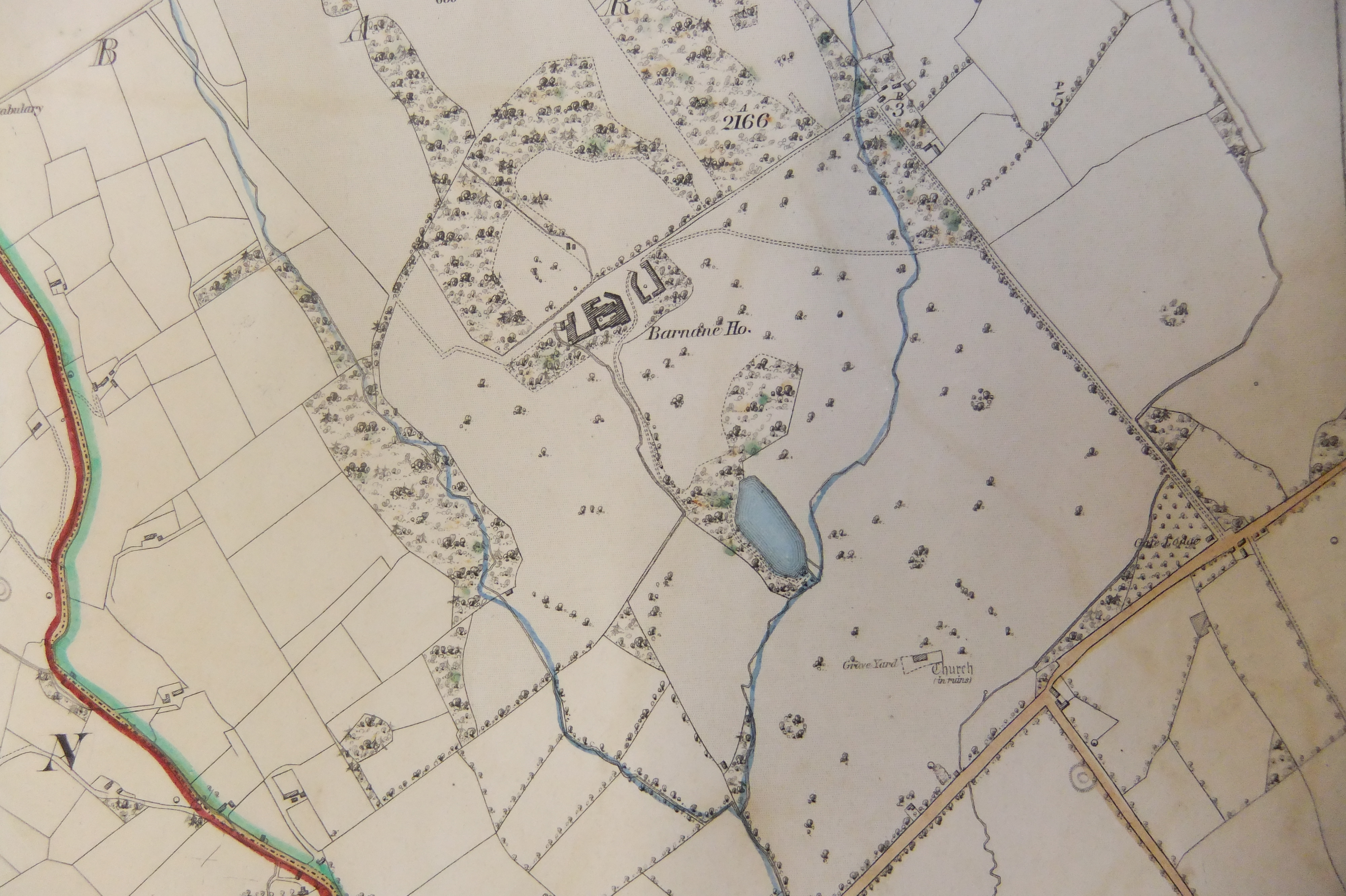
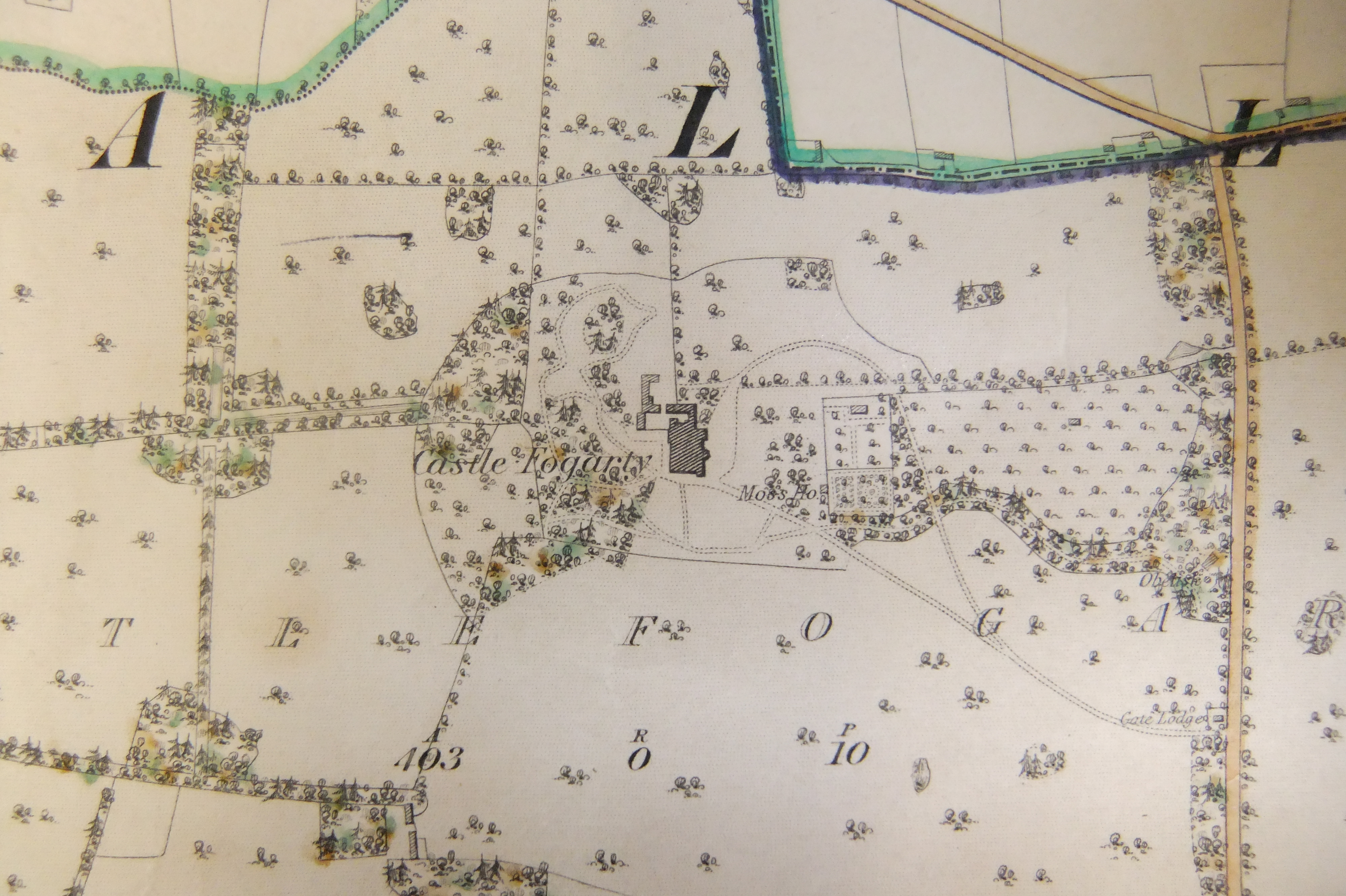
1st Edition Ordnance Survey Maps for Co. Tipperary (1840/41)
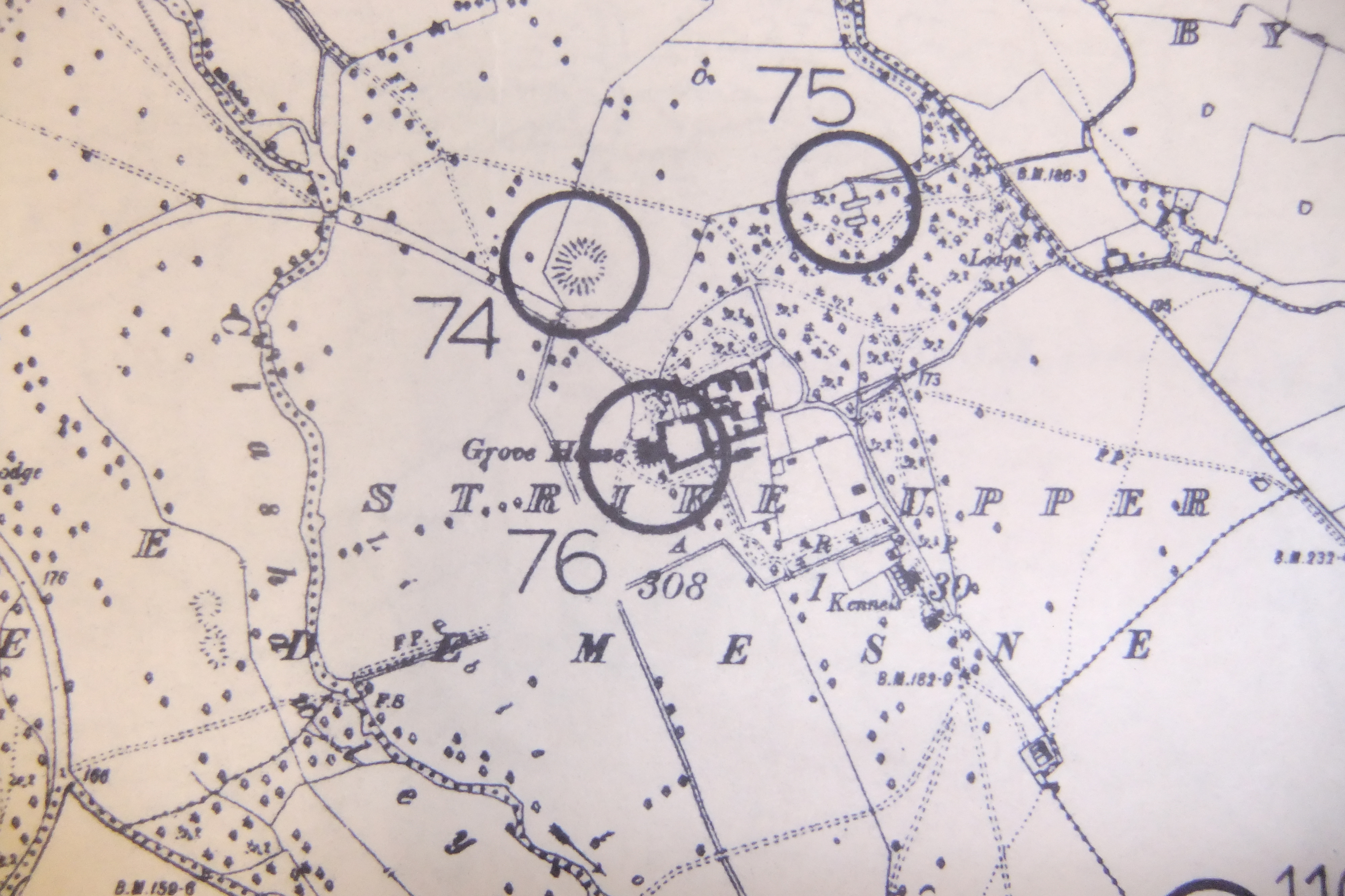
Recorded Monuments Maps (on 2nd Edition OS Maps, c.1905)
Urban Archaeological Survey Maps (1993/94)
Large Scale Town Maps – Carrick on Suir (1886); Clonmel (1874); Nenagh (1879) Tipperary Town (1880)

